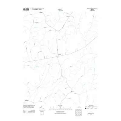
2013 Map of Mount Airy
USGS Topo · Published 2013About this map
Mount Airy and Renan occupy the central plateau of this Pittsylvania County landscape, where rural roads intersect amidst a complex drainage network. The terrain is defined by the convergence of several significant watercourses, most notably the Stinking River and the Banister River, which wind through the southern half of the quadrangle. Smaller tributaries like Flyblow Cr and Straightstone Cr carve into the northern uplands, creating the undulating topography characteristic of the Virginia Piedmont.
Find a feature on this map
61 named features on this map. Tap any name to fly to it.
Don’t see what you’re looking for? This feature index may not catch every label — zoom into the map to look around manually.
Map Details
Editions of this 2013 Mount Airy Map
This is the sole edition of this map. No revisions or reprints were ever made.
Other maps of this area

1892 · Lynchburg
USGS Topo · 1:125,000

1921 · Chatham
USGS Topo · 1:48,000

1923 · Chatham
USGS Topo · 1:62,500

1947 · Roanoke
USGS Topo · 1:250,000

1951 · Altavista
USGS Topo · 1:62,500

1953 · Greensboro
USGS Topo · 1:250,000

1954 · Greensboro
USGS Topo · 1:250,000

1954 · Riceville
USGS Topo · 1:62,500

1956 · Gladys
USGS Topo · 1:62,500

1959 · Roanoke
USGS Topo · 1:250,000