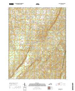
2019 Map of Mount Airy
USGS Topo · Published 2019About this map
The Banister River and Stinking River converge in this section of Pittsylvania County, shaping a landscape defined by winding watercourses and a dense network of secondary roads. Small, established communities like Mount Airy and Riceville serve as central points in a region dominated by agricultural tracts and timberland. The presence of routes such as Hickeys Rd and Deer Track Farm Rd reflects the rural development patterns of Southside Virginia, where family farms and small settlements have persisted over generations.
Find a feature on this map
65 named features on this map. Tap any name to fly to it.
Don’t see what you’re looking for? This feature index may not catch every label — zoom into the map to look around manually.
Map Details
Editions of this 2019 Mount Airy Map
This is the sole edition of this map. No revisions or reprints were ever made.
Other maps of this area

1892 · Lynchburg
USGS Topo · 1:125,000

1921 · Chatham
USGS Topo · 1:48,000

1923 · Chatham
USGS Topo · 1:62,500

1947 · Roanoke
USGS Topo · 1:250,000

1951 · Altavista
USGS Topo · 1:62,500

1953 · Greensboro
USGS Topo · 1:250,000

1954 · Greensboro
USGS Topo · 1:250,000

1954 · Riceville
USGS Topo · 1:62,500

1956 · Gladys
USGS Topo · 1:62,500

1959 · Roanoke
USGS Topo · 1:250,000