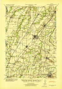
1940 Map of Mount Angel
USGS Topo · Published 1940About this map
The Willamette River and its meandering tributaries, including the Pudding River and Champoeg Creek, define this fertile stretch of the Willamette Valley. This 1940 update, based on earlier surveys and WPA revisions, captures a landscape deeply engaged in agriculture and institutional life. The region is marked by a dense network of country schools like Belle Passi Sch and Arbor Grove School, alongside larger facilities such as the State Training School for Boys and the Indian School near Chemawa.
Find a feature on this map
63 named features on this map. Tap any name to fly to it.
Don’t see what you’re looking for? This feature index may not catch every label — zoom into the map to look around manually.
Map Details
Editions of this 1940 Mount Angel Map
This is the sole edition of this map. No revisions or reprints were ever made.
Other maps of this area

1914 · Oregon City
USGS Topo · 1:62,500
1915 · Eola
USGS Topo · 1:31,680

1916 · Tualatin
USGS Topo · 1:62,500
1917 · Salem
USGS Topo · 1:62,500
1923 · Mount Angel
USGS Topo · 1:62,500
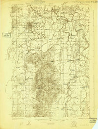
1924 · Mc Minnville
USGS Topo · 1:48,000
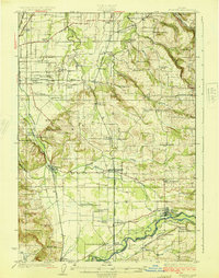
1925 · Stayton
USGS Topo · 1:62,500
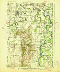
1926 · Mc Minnville
USGS Topo · 1:62,500
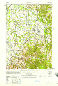
1939 · Molalla
USGS Topo · 1:62,500

1939 · Oregon City
USGS Topo · 1:62,500