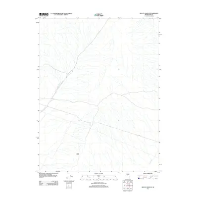
2011 Map of Mount Annie NE
USGS Topo · Published 2011About this map
Phillips Wash and Gabbs Wash cut through this arid corner of Nye County, defining the drainage patterns of an open, high-desert landscape. The terrain is prominently marked by Cobble Cuesta in the southern portion of the quadrangle, a geological landform that stands out amidst the network of ephemeral stream beds. In the early 21st century, the area remained largely undeveloped, with very little infrastructure beyond a few isolated corridors such as Del Vega St crossing the southeastern section. This 2011 survey by the U.S. Geological Survey provides a precise look at the natural topography and primitive road network before any significant modern shifts in the region's land use.
Find a feature on this map
4 named features on this map. Tap any name to fly to it.
Don’t see what you’re looking for? This feature index may not catch every label — zoom into the map to look around manually.
Map Details
Editions of this 2011 Mount Annie NE Map
This is the sole edition of this map. No revisions or reprints were ever made.
Other maps of this area

1907 · Tonopah
USGS Topo · 1:250,000

1908 · Tonopah
USGS Topo · 1:250,000

1908 · Carson Sink
USGS Topo · 1:250,000

1909 · Hawthorne
USGS Topo · 1:250,000

1910 · Carson Sink
USGS Topo · 1:250,000

1911 · Hawthorne
USGS Topo · 1:250,000

1915 · Hawthorne
USGS Topo · 1:250,000

1948 · Paradise Peak
USGS Topo · 1:62,500

1948 · Walker Lake
USGS Topo · 1:250,000

1950 · Paradise Peak
USGS Topo · 1:62,500