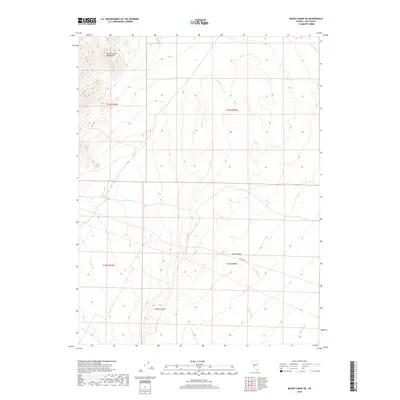
2018 Map of Mount Annie NE
USGS Topo · Published 2018About this map
The Monte Cristo Mountains dominate the northwestern reaches of this Nevada landscape, where the arid terrain gives way to the broad expanse of Gabbs Valley to the south and east. This 2018 survey captures the high desert's drainage patterns, defined by the winding course of Gabbs Wash as it cuts through the northeastern corner and the smaller Phillips Wash in the west. The presence of Cobble Cuesta suggests a landscape shaped by distinct geological tilting and erosion, common to the Great Basin. While the area is largely undeveloped, the inclusion of Del Vega St indicates localized road access within the valley floor, connecting the remote slopes to the wider region of Nye County.
Find a feature on this map
10 named features on this map. Tap any name to fly to it.
Don’t see what you’re looking for? This feature index may not catch every label — zoom into the map to look around manually.
Map Details
Editions of this 2018 Mount Annie NE Map
This is the sole edition of this map. No revisions or reprints were ever made.
Other maps of this area

1907 · Tonopah
USGS Topo · 1:250,000

1908 · Tonopah
USGS Topo · 1:250,000

1908 · Carson Sink
USGS Topo · 1:250,000

1909 · Hawthorne
USGS Topo · 1:250,000

1910 · Carson Sink
USGS Topo · 1:250,000

1911 · Hawthorne
USGS Topo · 1:250,000

1915 · Hawthorne
USGS Topo · 1:250,000

1948 · Paradise Peak
USGS Topo · 1:62,500

1948 · Walker Lake
USGS Topo · 1:250,000

1950 · Paradise Peak
USGS Topo · 1:62,500