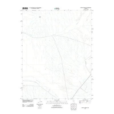
2011 Map of Mount Annie SE
USGS Topo · Published 2011About this map
Gabbs Wash meanders across the central landscape of this Nye County quadrangle, representing the characteristic drainage patterns of the Great Basin. The topography is defined by the Cobble Cuesta to the northwest, a landform indicating the tilted geological layers of this arid region. Human activity is marked by a sparse network of desert transit, primarily consisting of Rawhide Rd in the southwest and N 2 Bar Rd cutting through the center. In the southern reaches, the Finger Rock Wash channel further illustrates the intermittent water systems that shape this Nevada terrain. This 2011 survey provides a clear view of the undeveloped open range before more modern infrastructure or land-use changes altered the immediate vicinity.
Find a feature on this map
5 named features on this map. Tap any name to fly to it.
Don’t see what you’re looking for? This feature index may not catch every label — zoom into the map to look around manually.
Map Details
Editions of this 2011 Mount Annie SE Map
This is the sole edition of this map. No revisions or reprints were ever made.
Other maps of this area

1907 · Tonopah
USGS Topo · 1:250,000

1908 · Tonopah
USGS Topo · 1:250,000

1909 · Hawthorne
USGS Topo · 1:250,000

1911 · Hawthorne
USGS Topo · 1:250,000

1915 · Hawthorne
USGS Topo · 1:250,000

1948 · Paradise Peak
USGS Topo · 1:62,500

1948 · Walker Lake
USGS Topo · 1:250,000

1950 · Paradise Peak
USGS Topo · 1:62,500

1956 · Tonopah
USGS Topo · 1:250,000

1957 · Walker Lake
USGS Topo · 1:250,000