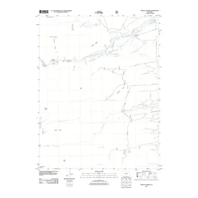
2011 Map of Mount Antero
USGS Topo · Published 2011About this map
Mount Antero and Mount Princeton anchor this high-altitude survey of the Sawatch Range, where mining legacy and recreational development converge. Evidence of early mineral extraction is scattered throughout the drainages, including the Lucky Mine near Merriam Creek and the Shannon Last Chance Mine overlooking Chalk Creek. The landscape is defined by its dramatic elevation changes, notably the Chalk Cliffs and the cascading waters at Agnes Vaille Falls. Modern access via County Rd-162 supports a network of sites like the Chalk Lake Campground and Mount Princeton Campground. The presence of the Bowen Ditch and several gulches, including Raspberry Gulch and Tie Gulch, illustrates the complex water management and topographical features required for both industry and settlement in this alpine environment.
Find a feature on this map
45 named features on this map. Tap any name to fly to it.
Don’t see what you’re looking for? This feature index may not catch every label — zoom into the map to look around manually.
Map Details
Editions of this 2011 Mount Antero Map
This is the sole edition of this map. No revisions or reprints were ever made.
Other maps of this area

1940 · Garfield
USGS Topo · 1:62,500

1945 · Garfield
USGS Topo · 1:62,500

1955 · Buena Vista
USGS Topo · 1:62,500

1955 · Mount Harvard
USGS Topo · 1:62,500

1956 · Poncha Springs
USGS Topo · 1:62,500

1956 · Montrose
USGS Topo · 1:250,000

1959 · Montrose
USGS Topo · 1:250,000

1960 · Montrose
USGS Topo · 1:250,000

1968 · Montrose
USGS Topo · 1:250,000

1982 · Buena Vista West
USGS Topo · 1:24,000