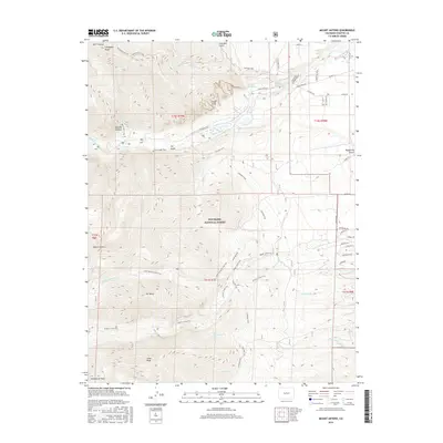
2016 Map of Mount Antero
USGS Topo · Published 2016About this map
Mount Princeton Hot Springs and the geothermal waters of Hortense Hot Spring define the northern corridor of this high-altitude landscape. Situated within the San Isabel National Forest, the region is dominated by the massive summits of the Collegiate Peaks, including the namesake Mount Antero and Mt Princeton. The geologic character of the area is most visible at the striking Chalk Cliffs and Agnes Vaille Falls, where the terrain drops sharply into Cascade Canyon.
Find a feature on this map
58 named features on this map. Tap any name to fly to it.
Don’t see what you’re looking for? This feature index may not catch every label — zoom into the map to look around manually.
Map Details
Editions of this 2016 Mount Antero Map
This is the sole edition of this map. No revisions or reprints were ever made.
Other maps of this area

1940 · Garfield
USGS Topo · 1:62,500

1945 · Garfield
USGS Topo · 1:62,500

1955 · Buena Vista
USGS Topo · 1:62,500

1955 · Mount Harvard
USGS Topo · 1:62,500

1956 · Poncha Springs
USGS Topo · 1:62,500

1956 · Montrose
USGS Topo · 1:250,000

1959 · Montrose
USGS Topo · 1:250,000

1960 · Montrose
USGS Topo · 1:250,000

1968 · Montrose
USGS Topo · 1:250,000

1982 · Buena Vista West
USGS Topo · 1:24,000