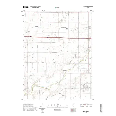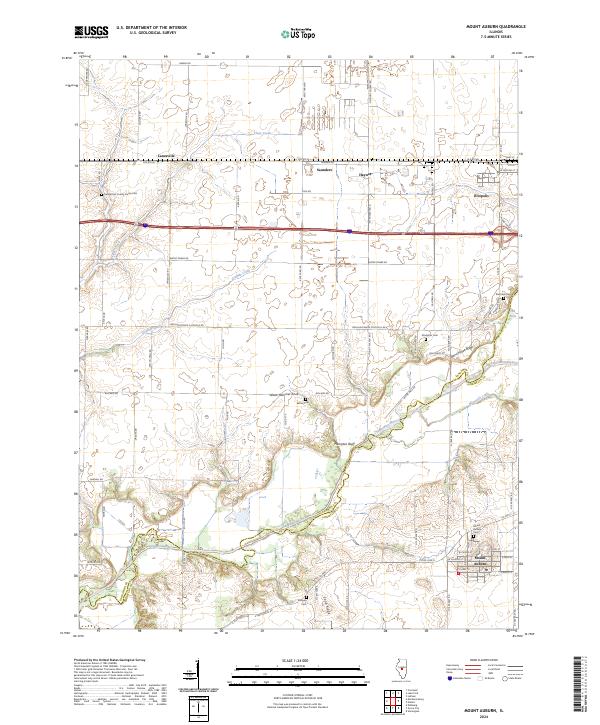
2024 Map of Mount Auburn
USGS Topo · Published 2024About this map
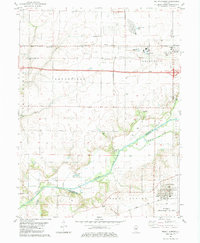
The Sangamon River carves a winding path across the southern landscape of this central Illinois region, marking the boundary between Sangamon and Christian counties. This area is defined by its agricultural layout, where the rectangular grid of rural roads connects established communities like Mount Auburn and Illiopolis. The map documents several small, often isolated settlements such as Lanesville, Saunders, and Haynes, which serve as vital points in the local history of the prairie.
Find a feature on this map
75 named features on this map. Tap any name to fly to it.
Don’t see what you’re looking for? This feature index may not catch every label — zoom into the map to look around manually.
Map Details
Editions of this 2024 Mount Auburn Map
This is the sole edition of this map. No revisions or reprints were ever made.
Historical Maps of Illiopolis Through Time
6 maps found