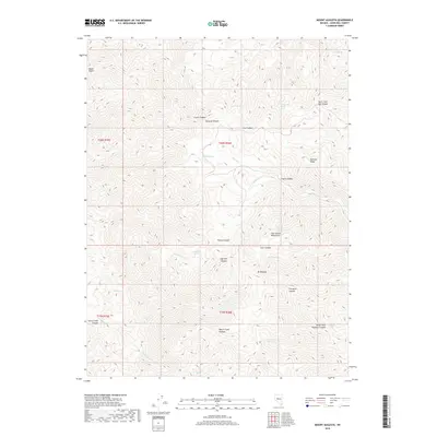
2018 Map of Mount Augusta
USGS Topo · Published 2018About this map
The Clan Alpine Mountains dominate this high-desert landscape in Churchill County, rising to the prominent peak of Mt Augusta. This 2018 survey detail provides a look at the complex network of canyons and ridges that define the Great Basin terrain, including Paiute Canyon and the aptly named Railroad Ridge. Water sources, critical for survival and land use in this arid environment, are meticulously documented throughout the range. Researchers will find numerous named springs such as Cherry Spring Number One, Sagehen Spring, Starr Spring, and Cottonwood Springs, which often correlate with early ranching or travel routes. The map also delineates several drainages including Sagehen Cr and Horse Cr, tracing the natural flow of seasonal water through deep cuts like Grover Canyon and Florence Canyon.
Find a feature on this map
35 named features on this map. Tap any name to fly to it.
Don’t see what you’re looking for? This feature index may not catch every label — zoom into the map to look around manually.
Map Details
Editions of this 2018 Mount Augusta Map
This is the sole edition of this map. No revisions or reprints were ever made.
Other maps of this area

1908 · Carson Sink
USGS Topo · 1:250,000

1910 · Carson Sink
USGS Topo · 1:250,000

1955 · Millett
USGS Topo · 1:250,000

1957 · Reno
USGS Topo · 1:250,000

1959 · Reno
USGS Topo · 1:250,000

1959 · Millett
USGS Topo · 1:250,000

1960 · Reno
USGS Topo · 1:250,000

1966 · Clan Alpine Ranch
USGS Topo · 1:62,500

1969 · Camp Creek Canyon
USGS Topo · 1:24,000

1969 · Cold Springs
USGS Topo · 1:24,000