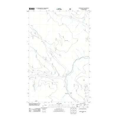
2011 Map of Mount Baldy
USGS Topo · Published 2011About this map
Mount Baldy rises as a central landmark within this Lincoln County landscape, where the Yaak River snakes through the valley floor. The 2011 topography reveals a complex network of forest access including Natl Forest Develop Road 745 Rd and Natl Forest Develop Road 524 RD, which navigate the drainages of Hellroaring Creek and North Fork Meadow Creek. This modern survey documents the essential hydrological system of the northwestern Montana backcountry, featuring numerous named tributaries such as Sunday Creek, Sunshine Creek, and Spread Creek that feed into the primary river corridor.
Find a feature on this map
26 named features on this map. Tap any name to fly to it.
Don’t see what you’re looking for? This feature index may not catch every label — zoom into the map to look around manually.
Map Details
Editions of this 2011 Mount Baldy Map
This is the sole edition of this map. No revisions or reprints were ever made.
Other maps of this area

1911 · Priest Lake
USGS Topo · 1:250,000

1913 · Priest Lake
USGS Topo · 1:250,000

1957 · Kalispell
USGS Topo · 1:250,000

1958 · Sandpoint
USGS Topo · 1:250,000

1960 · Kalispell
USGS Topo · 1:250,000

1961 · Kalispell
USGS Topo · 1:250,000

1963 · Sandpoint
USGS Topo · 1:250,000

1963 · Sylvanite
USGS Topo · 1:24,000

1963 · Mount Baldy
USGS Topo · 1:24,000

1963 · Northwest Peak
USGS Topo · 1:24,000