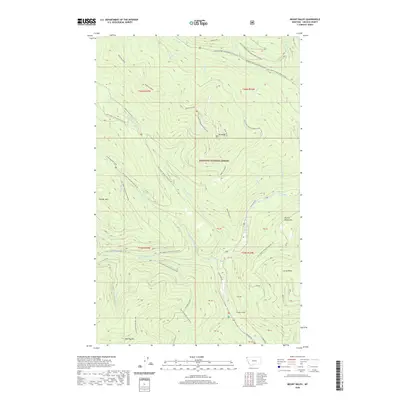
2020 Map of Mount Baldy
USGS Topo · Published 2020About this map
Kootenai National Forest dominates this section of the Purcell Mountains in northwestern Montana, defined by high summits and the winding corridor of the Yaak River. The landscape is a network of named peaks and ridges, including Mt Baldy, Thunder Mtn, and the distinctive Red Top Murphy Mountain. A series of Forest Development Roads, such as Natl Forest Develop Road 591 Rd, provides access through the drainage basins of Hellroaring Cr and N Fork Meadow Cr. Evidence of backcountry activity and lookouts appears with the label Redtop Cyclone near Red Top Mtn. The river valley itself is the primary low-lying landmark, flanked by Lucky Gulch and Lucky Point, with the Yaak River Rd following the water's edge south toward the Sylvanite area.
Find a feature on this map
54 named features on this map. Tap any name to fly to it.
Don’t see what you’re looking for? This feature index may not catch every label — zoom into the map to look around manually.
Map Details
Editions of this 2020 Mount Baldy Map
This is the sole edition of this map. No revisions or reprints were ever made.
Other maps of this area

1911 · Priest Lake
USGS Topo · 1:250,000

1913 · Priest Lake
USGS Topo · 1:250,000

1957 · Kalispell
USGS Topo · 1:250,000

1958 · Sandpoint
USGS Topo · 1:250,000

1960 · Kalispell
USGS Topo · 1:250,000

1961 · Kalispell
USGS Topo · 1:250,000

1963 · Sandpoint
USGS Topo · 1:250,000

1963 · Sylvanite
USGS Topo · 1:24,000

1963 · Mount Baldy
USGS Topo · 1:24,000

1963 · Northwest Peak
USGS Topo · 1:24,000