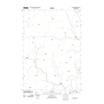
2011 Map of Mount Blue
USGS Topo · Published 2011About this map
Mount Blue and the neighboring peaks of the Western Maine Mountains dominate this topographical study, where the landscape is defined by high ridges and the basins of numerous glacial ponds. The drainage patterns of Temple Stream, Wilson Stream, and Alder Brook carve through the terrain, supporting the small settlements of Temple Intervale and Wilton Intervale.
Find a feature on this map
67 named features on this map. Tap any name to fly to it.
Don’t see what you’re looking for? This feature index may not catch every label — zoom into the map to look around manually.
Map Details
Editions of this 2011 Mount Blue Map
This is the sole edition of this map. No revisions or reprints were ever made.
Other maps of this area

1924 · Farmington
USGS Topo · 1:62,500

1926 · Dixfield
USGS Topo · 1:62,500

1929 · Phillips
USGS Topo · 1:48,000

1929 · Dixfield
USGS Topo · 1:62,500

1930 · Kingfield
USGS Topo · 1:48,000

1932 · Phillips
USGS Topo · 1:62,500

1932 · Kingfield
USGS Topo · 1:62,500

1950 · Lewiston
USGS Topo · 1:250,000

1956 · Dixfield
USGS Topo · 1:48,000

1956 · Farmington
USGS Topo · 1:62,500