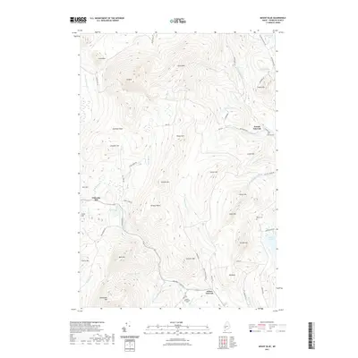
2021 Map of Mount Blue
USGS Topo · Published 2021About this map
Mt Blue and Spruce Mtn dominate the high terrain of this Franklin County landscape, where deep valleys separate prominent ridges like Gammon Ridge and Kinneys Head. The settlement pattern follows the water, with Hildreths Mill situated near Hills Pond and small communities established at Temple Intervale and Wilton Intervale. These low-lying areas, or intervals, provided the flat, fertile ground necessary for local agriculture amidst the surrounding peaks.
Find a feature on this map
71 named features on this map. Tap any name to fly to it.
Don’t see what you’re looking for? This feature index may not catch every label — zoom into the map to look around manually.
Map Details
Editions of this 2021 Mount Blue Map
This is the sole edition of this map. No revisions or reprints were ever made.
Other maps of this area

1924 · Farmington
USGS Topo · 1:62,500

1926 · Dixfield
USGS Topo · 1:62,500

1929 · Phillips
USGS Topo · 1:48,000

1929 · Dixfield
USGS Topo · 1:62,500

1930 · Kingfield
USGS Topo · 1:48,000

1932 · Phillips
USGS Topo · 1:62,500

1932 · Kingfield
USGS Topo · 1:62,500

1950 · Lewiston
USGS Topo · 1:250,000

1956 · Dixfield
USGS Topo · 1:48,000

1956 · Farmington
USGS Topo · 1:62,500