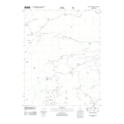
2011 Map of Mount Brigham
USGS Topo · Published 2011About this map
Mount Brigham and Deer Trail Mountain anchor this high-elevation landscape in the Tushar Mountains, where a complex network of mining-related infrastructure is still evident in the early 21st century. The map documents significant historical mining sites, including the Silver King Mine near Butler Beck Cabin and the Rainbow Mine tucked into the slopes above California Gulch. These features, alongside the Deer Trail Mine near the Sevier River, illustrate the enduring footprint of extraction in this corner of Piute County.
Find a feature on this map
52 named features on this map. Tap any name to fly to it.
Don’t see what you’re looking for? This feature index may not catch every label — zoom into the map to look around manually.
Map Details
Editions of this 2011 Mount Brigham Map
This is the sole edition of this map. No revisions or reprints were ever made.
Other maps of this area

1885 · Beaver
USGS Topo · 1:250,000

1932 · Sevier
USGS Topo · 1:62,500

1935 · Sevier
USGS Topo · 1:62,500

1937 · Delano Peak
USGS Topo · 1:48,000

1940 · Monroe
USGS Topo · 1:62,500

1943 · Delano Peak
USGS Topo · 1:62,500

1944 · Monroe
USGS Topo · 1:62,500

1945 · Marysvale
USGS Topo · 1:62,500

1947 · Marysvale
USGS Topo · 1:62,500

1953 · Richfield
USGS Topo · 1:250,000