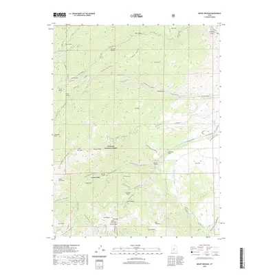
2020 Map of Mount Brigham
USGS Topo · Published 2020About this map
Mt Brigham and Alunite Ridge dominate the high-altitude landscape of the Tushar Mountains in this modern survey of south-central Utah. The map documents the complex geography of the Fishlake National Forest, where steep drainages like Bullion Canyon and Revenue Gulch drop sharply toward the east. The settlement of Kimberly is situated in the north, while the southern peaks including Edna Peak and South Edna Peak reach heights that define the skyline.
Find a feature on this map
96 named features on this map. Tap any name to fly to it.
Don’t see what you’re looking for? This feature index may not catch every label — zoom into the map to look around manually.
Map Details
Editions of this 2020 Mount Brigham Map
This is the sole edition of this map. No revisions or reprints were ever made.
Other maps of this area

1885 · Beaver
USGS Topo · 1:250,000

1932 · Sevier
USGS Topo · 1:62,500

1935 · Sevier
USGS Topo · 1:62,500

1937 · Delano Peak
USGS Topo · 1:48,000

1940 · Monroe
USGS Topo · 1:62,500

1943 · Delano Peak
USGS Topo · 1:62,500

1944 · Monroe
USGS Topo · 1:62,500

1945 · Marysvale
USGS Topo · 1:62,500

1947 · Marysvale
USGS Topo · 1:62,500

1953 · Richfield
USGS Topo · 1:250,000