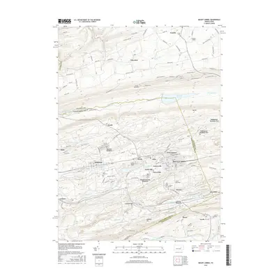
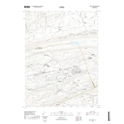
1977 Map of Mount Carmel
USGS Topo · Published 1979About this map
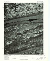
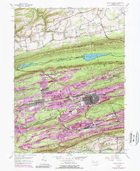
Mount Carmel and its surrounding coal-country settlements are viewed here through high-altitude imagery taken during the late 1970s. This orthophotoquad reveals the dense, gridded street plans of industrial towns like Kulpmont and Natalie, set against the deeply scarred landscape of Pennsylvania's anthracite region. The terrain is dominated by the parallel ridges of Little Mountain, Big Mountain, and Mahanoy Mountain, which dictate the placement of transportation routes and human habitation. To the south, Mahanoy Creek winds through the valley, while the small settlement of Locust Gap sits at a strategic breach in the ridgeline. Unlike a traditional topographic map, this imagery-based study provides a literal view of land use, showing the stark contrast between the agricultural fields in the north and the heavy earth-moving activities and forested slopes that characterize the mining belt to the south.
Find a feature on this map
9 named features on this map. Tap any name to fly to it.
Don’t see what you’re looking for? This feature index may not catch every label — zoom into the map to look around manually.
Map Details
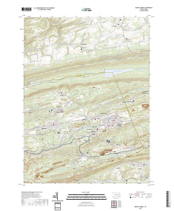
Editions of this 1977 Mount Carmel Map
This is the sole edition of this map. No revisions or reprints were ever made.
Historical Maps of Mount Carmel Through Time
7 maps found
Featured Locations
- Kulpmont, PA
- Marion Heights, PA
- Mount Carmel, PA
- Upper Sagon, Coal Township
- Dooleyville, Mount Carmel Township