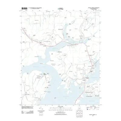
2011 Map of Mount Carmel
USGS Topo · Published 2011About this map
Guntersville Lake and the winding Tennessee River dominate this modern topographical record, which illustrates the extensive shoreline development and recreational hubs along the northern Alabama waterfront. Residential enclaves such as Holiday Shores, Pinedale Shores, and Claysville are woven between complex inlets and ridges, reflecting the modern residential density of the region. The landscape is dotted with numerous family-named landmarks and cemeteries, including the Panquin Cemetery and Abel Cemetery, providing valuable data for genealogists tracing local lineage.
Find a feature on this map
138 named features on this map. Tap any name to fly to it.
Don’t see what you’re looking for? This feature index may not catch every label — zoom into the map to look around manually.
Map Details
Editions of this 2011 Mount Carmel Map
This is the sole edition of this map. No revisions or reprints were ever made.
Other maps of this area

1885 · Gadsden
USGS Topo · 1:125,000

1888 · Gadsden
USGS Topo · 1:125,000

1888 · Scottsboro
USGS Topo · 1:125,000

1892 · Scottsboro
USGS Topo · 1:125,000

1892 · Gadsden
USGS Topo · 1:125,000

1895 · Gadsden
USGS Topo · 1:125,000

1903 · Gadsden
USGS Topo · 1:125,000

1936 · Guntersville
USGS Topo · 1:24,000

1936 · Columbus City
USGS Topo · 1:24,000

1936 · New Hope
USGS Topo · 1:24,000