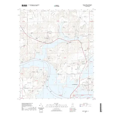
2020 Map of Mount Carmel
USGS Topo · Published 2020About this map
Guntersville Lake dominates the central landscape of this Marshall County survey, where the sprawling reservoir meets the steep topography of the Cumberland Plateau's southern edges. The map documents several established communities and family-centered settlements, including Grant, Cottonville, and Henryville, alongside the northern portions of Guntersville. The terrain is characterized by a complex network of hollows and ridges, such as Jagger Hollow, Roden Valley, and Taylor Ridge, reflecting a landscape where development is strictly tied to the elevation of the valley floor.
Find a feature on this map
91 named features on this map. Tap any name to fly to it.
Don’t see what you’re looking for? This feature index may not catch every label — zoom into the map to look around manually.
Map Details
Editions of this 2020 Mount Carmel Map
This is the sole edition of this map. No revisions or reprints were ever made.
Other maps of this area

1885 · Gadsden
USGS Topo · 1:125,000

1888 · Gadsden
USGS Topo · 1:125,000

1888 · Scottsboro
USGS Topo · 1:125,000

1892 · Scottsboro
USGS Topo · 1:125,000

1892 · Gadsden
USGS Topo · 1:125,000

1895 · Gadsden
USGS Topo · 1:125,000

1903 · Gadsden
USGS Topo · 1:125,000

1936 · Guntersville
USGS Topo · 1:24,000

1936 · Columbus City
USGS Topo · 1:24,000

1936 · New Hope
USGS Topo · 1:24,000