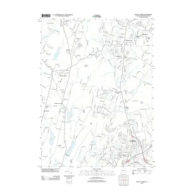
2012 Map of Mount Carmel
USGS Topo · Published 2012About this map
Bethany and Hamden are defined by the dramatic north-south ridge systems and a complex network of reservoirs in this 2012 topographic study. The West Rock Ridge and Mount Sanford dominate the western half, creating a natural divide between the more developed eastern valleys and the forested slopes of the west. Water management is a central theme of the landscape, seen in the string of major basins including Lake Bethany, Lake Chamberlain, and Lake Watrous, which feed the southern flow of the W River.
Find a feature on this map
310 named features on this map. Tap any name to fly to it.
Don’t see what you’re looking for? This feature index may not catch every label — zoom into the map to look around manually.
Map Details
Editions of this 2012 Mount Carmel Map
This is the sole edition of this map. No revisions or reprints were ever made.
Other maps of this area

1889 · Derby
USGS Topo · 1:62,500

1891 · Derby
USGS Topo · 1:62,500

1892 · New Haven
USGS Topo · 1:62,500

1892 · Meriden
USGS Topo · 1:62,500

1893 · Waterbury
USGS Topo · 1:62,500

1893 · Meriden
USGS Topo · 1:62,500

1893 · Derby
USGS Topo · 1:62,500

1904 · Waterbury
USGS Topo · 1:62,500

1904 · Litchfield
USGS Topo · 1:125,000

1906 · Farmington
USGS Topo · 1:125,000