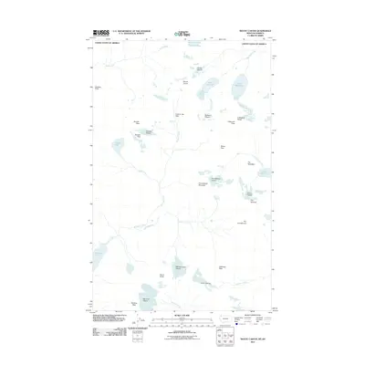
2011 Map of Mount Carter
USGS Topo · Published 2011About this map
Mount Carter and the high peaks of the Livingston Range dominate this landscape along the international border in the early 21st century. The map reveals an intricate network of alpine ice and water, where the Rainbow Glacier and Carter Glaciers feed into steep drainages like Rainbow Creek and Valentine Creek. The glacial activity is the defining characteristic of this terrain, evidenced by the clustered presence of the Weasel Collar Glacier, Dixon Glacier, and Hudson Glacier.
Find a feature on this map
40 named features on this map. Tap any name to fly to it.
Don’t see what you’re looking for? This feature index may not catch every label — zoom into the map to look around manually.
Map Details
Editions of this 2011 Mount Carter Map
This is the sole edition of this map. No revisions or reprints were ever made.
Other maps of this area

1904 · Chief Mountain
USGS Topo · 1:125,000

1906 · Kintla Lakes
USGS Topo · 1:125,000

1938 · Chief Mountain
USGS Topo · 1:125,000

1938 · Kintla Lakes
USGS Topo · 1:125,000

1957 · Kalispell
USGS Topo · 1:250,000

1960 · Kalispell
USGS Topo · 1:250,000

1960 · Cut Bank
USGS Topo · 1:250,000

1961 · Kalispell
USGS Topo · 1:250,000

1963 · Cut Bank
USGS Topo · 1:250,000

1964 · Cut Bank
USGS Topo · 1:250,000