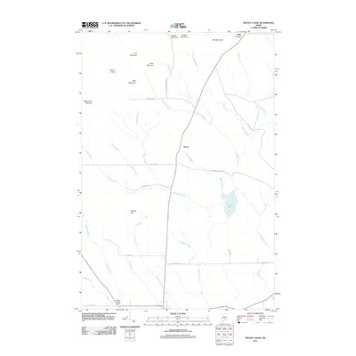
2011 Map of Mount Chase
USGS Topo · Published 2011About this map
Mount Chase and its surrounding peaks dominate this landscape in Penobscot County, where the transition from high terrain to the lowlands around Crystal Lake is marked by a complex network of brooks and logging infrastructure. The map reveals a region deeply tied to its timber resources, evidenced by thoroughfares like Champion Paper Rd and the Mcmanus Tote Rd. Small settlements such as Hersey and Halls Corner serve as the primary human centers, while the Peasley Brook Dam indicates managed water flow in the southern portion of the quadrangle. A series of ridges, including Pickett Mountain, Bear Mountain, and Long Mountain, define the drainage patterns that feed into Houston Brook and Bragg Brook, illustrating the varied topography of this Maine interior.
Find a feature on this map
36 named features on this map. Tap any name to fly to it.
Don’t see what you’re looking for? This feature index may not catch every label — zoom into the map to look around manually.
Map Details
Editions of this 2011 Mount Chase Map
This is the sole edition of this map. No revisions or reprints were ever made.
Other maps of this area

1940 · Island Falls
USGS Topo · 1:62,500

1940 · Sherman
USGS Topo · 1:62,500

1942 · Island Falls
USGS Topo · 1:62,500

1942 · Sherman
USGS Topo · 1:62,500

1953 · Stacyville
USGS Topo · 1:62,500

1954 · Shin Pond
USGS Topo · 1:62,500

1954 · Presque Isle
USGS Topo · 1:250,000

1954 · Millinocket
USGS Topo · 1:250,000

1958 · Presque Isle
USGS Topo · 1:250,000

1958 · Millinocket
USGS Topo · 1:250,000