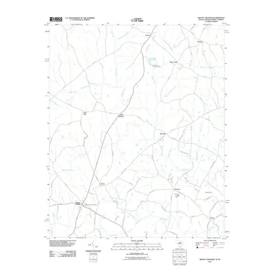
2011 Map of Mount Croghan
USGS Topo · Published 2011About this map
Mount Croghan serves as the primary hub in this rural landscape near the South Carolina and North Carolina border. The area is defined by a dense network of watercourses, including the prominent Thompson Creek and its many tributaries like Deadfall Creek and Gulpins Branch. Small, established communities and named crossroads such as Maysville, Wexford, and Littles Quarters are linked by a complex web of local routes and state roads like NC-1220.
Find a feature on this map
84 named features on this map. Tap any name to fly to it.
Don’t see what you’re looking for? This feature index may not catch every label — zoom into the map to look around manually.
Map Details
Editions of this 2011 Mount Croghan Map
This is the sole edition of this map. No revisions or reprints were ever made.
Other maps of this area

1941 · Spartanburg
USGS Topo · 1:250,000

1953 · Spartanburg
USGS Topo · 1:250,000

1956 · Wadesboro
USGS Topo · 1:24,000

1960 · Spartanburg
USGS Topo · 1:250,000

1963 · Spartanburg
USGS Topo · 1:250,000

1964 · Spartanburg
USGS Topo · 1:250,000

1968 · Chesterfield
USGS Topo · 1:24,000

1968 · Ruby
USGS Topo · 1:24,000

1968 · Jefferson NE
USGS Topo · 1:24,000

1970 · Marshville
USGS Topo · 1:24,000