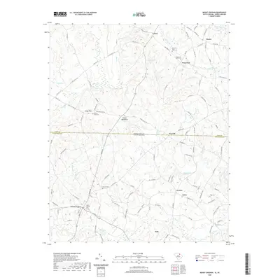
2020 Map of Mount Croghan
USGS Topo · Published 2020About this map
The town of Mount Croghan serves as a focal point for this landscape along the border of the Carolinas, where the state line divides local rural life near Littles Quarters. A significant network of church-affiliated burial grounds, such as West Deep Creek Church Cem and Long Pine Church Cem, suggests deep-rooted family ties across Ruby and the surrounding countryside. The drainage pattern is defined by the winding course of Thompson Creek, which gathers numerous tributaries like Deadfall Creek and Lick Br as they move through the undulating terrain. This 2020 survey illustrates how modern road networks like State Rd 1217 connect small residential clusters and agricultural lands, maintaining the historic footprint of settlements like Deep Creek and Wexford well into the twenty-first century.
Find a feature on this map
117 named features on this map. Tap any name to fly to it.
Don’t see what you’re looking for? This feature index may not catch every label — zoom into the map to look around manually.
Map Details
Editions of this 2020 Mount Croghan Map
This is the sole edition of this map. No revisions or reprints were ever made.
Other maps of this area

1941 · Spartanburg
USGS Topo · 1:250,000

1953 · Spartanburg
USGS Topo · 1:250,000

1956 · Wadesboro
USGS Topo · 1:24,000

1960 · Spartanburg
USGS Topo · 1:250,000

1963 · Spartanburg
USGS Topo · 1:250,000

1964 · Spartanburg
USGS Topo · 1:250,000

1968 · Chesterfield
USGS Topo · 1:24,000

1968 · Ruby
USGS Topo · 1:24,000

1968 · Jefferson NE
USGS Topo · 1:24,000

1970 · Marshville
USGS Topo · 1:24,000