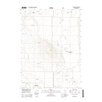
2015 Map of Mount Dome
USGS Topo · Published 2015About this map
Laird Landing marks the northern extent of this high-altitude landscape, situated along the Lower Klamath Lake Rd where the basin meets the plateau. The terrain is defined by dramatic volcanic and erosional features, including the sprawling Big Tableland and Little Tableland to the north, and the prominent summit of Mount Dome which towers over the center of the sheet. Drainage for this arid environment is channeled through Willow Cr and the steep walls of Box Canyon.
Find a feature on this map
27 named features on this map. Tap any name to fly to it.
Don’t see what you’re looking for? This feature index may not catch every label — zoom into the map to look around manually.
Map Details
Editions of this 2015 Mount Dome Map
This is the sole edition of this map. No revisions or reprints were ever made.
Other maps of this area

1886 · Modoc Lava Bed
USGS Topo · 1:250,000

1892 · Modoc Lava-Bed
USGS Topo · 1:250,000

1950 · Mt. Dome
USGS Topo · 1:62,500

1950 · Bray
USGS Topo · 1:62,500

1950 · Dorris
USGS Topo · 1:62,500

1952 · Medicine Lake
USGS Topo · 1:62,500

1954 · Alturas
USGS Topo · 1:250,000

1958 · Alturas
USGS Topo · 1:250,000

1962 · Alturas
USGS Topo · 1:250,000

1965 · Alturas
USGS Topo · 1:250,000