
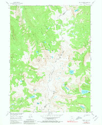
1955 Map of Mount Ethel
USGS Topo · Published 1957About this map
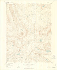
Routt National Forest encompasses this high alpine terrain along the Continental Divide, where the Park Range creates a formidable natural barrier between Routt and Jackson counties. The landscape is defined by its dramatic relief, rising from deep drainage points like Bear Canyon and Red Canyon to prominent summits including Mount Ethel and Lost Ranger Peak. The high-altitude basins are dotted with dozens of glacial lakes such as Lake of the Crags, Wolverine Lake, and the tandem of Rainbow Lake and Middle Rainbow Lake. This 1950s survey captures the area primarily as a primitive wilderness reached only by historic routes like the Wyoming Trail and Rainbow Lake Trail, emphasizing the remote character of the headwaters for the South Fork Elk River and Mad Creek.
Find a feature on this map
41 named features on this map. Tap any name to fly to it.
Don’t see what you’re looking for? This feature index may not catch every label — zoom into the map to look around manually.
Map Details
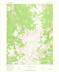
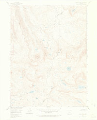
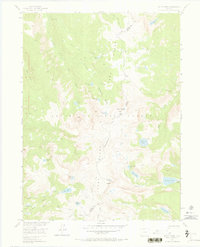
Editions of this 1955 Mount Ethel Map
6 editions found
Other maps of this area

1911 · Hahns Peak
USGS Topo · 1:125,000

1913 · Hahns Peak
USGS Topo · 1:125,000

1954 · Craig
USGS Topo · 1:250,000

1955 · Buffalo Pass
USGS Topo · 1:24,000

1955 · Mount Zirkel
USGS Topo · 1:24,000

1955 · Pitchpine Mountain
USGS Topo · 1:24,000

1955 · Teal Lake
USGS Topo · 1:24,000

1955 · Mount Ethel
USGS Topo · 1:62,500
1956 · Boettcher Lake
USGS Topo · 1:24,000

1956 · Pearl
USGS Topo · 1:62,500