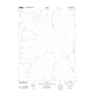
2012 Map of Mount Etna
USGS Topo · Published 2012About this map
Mount Etna dominates the eastern high ground of this Lyon County landscape, where the arid terrain is defined by a critical network of water sources. The Pine Grove Hills stretch across the central and southern portions of the map, serving as a significant geographical divide. Navigating this high desert environment in 2012 relied heavily on established passes such as Lobdell Summit and Pine Grove Summit, which provided passage through the ridgelines.
Find a feature on this map
11 named features on this map. Tap any name to fly to it.
Don’t see what you’re looking for? This feature index may not catch every label — zoom into the map to look around manually.
Map Details
Editions of this 2012 Mount Etna Map
This is the sole edition of this map. No revisions or reprints were ever made.
Other maps of this area

1891 · Wellington
USGS Topo · 1:125,000

1893 · Wellington
USGS Topo · 1:125,000

1948 · Walker Lake
USGS Topo · 1:250,000

1956 · Desert Creek Peak
USGS Topo · 1:62,500

1957 · Walker Lake
USGS Topo · 1:250,000

1957 · Wellington
USGS Topo · 1:62,500

1957 · Yerington
USGS Topo · 1:62,500

1958 · Pine Grove Hills
USGS Topo · 1:62,500

1962 · Walker Lake
USGS Topo · 1:250,000

1964 · Walker Lake
USGS Topo · 1:250,000