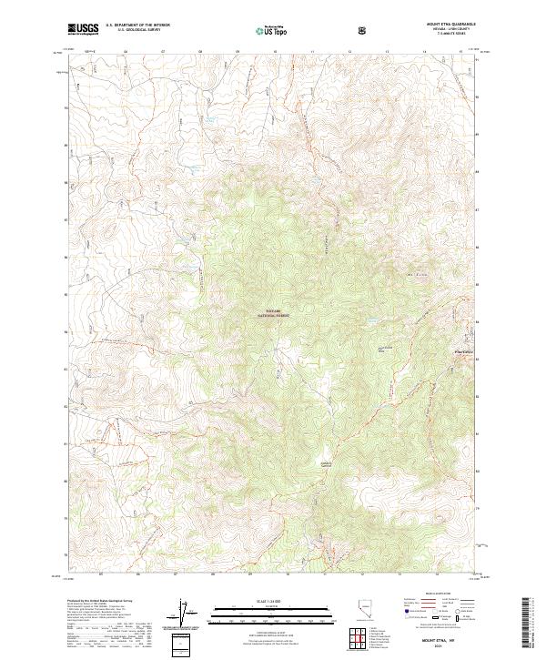
2021 Map of Mount Etna
USGS Topo · Published 2021About this map
Toiyabe National Forest dominates this high-altitude landscape in Lyon County, Nevada, where the desert floor meets the rising peaks of the Pine Grove Hills. The settlement of Pine Grove sits on the eastern edge of the quadrangle, serving as a gateway to a network of drainage canyons and high points like Mt Etna and Lobdell Summit. This 2021 survey reveals a complex system of modern utility and recreation access, including the Sand Canyon Connector Atv Trl and various connector routes like the Microwave Connector Trl. Water remains a vital feature for navigation and history in this arid environment, marked by numerous named points such as Beechers Spring, Ruby Springs, and Wellington Spring. The presence of the Cemetery Trl near the old Pine Grove site hints at the area's deeper human history amidst the canyons.
Find a feature on this map
42 named features on this map. Tap any name to fly to it.
Don’t see what you’re looking for? This feature index may not catch every label — zoom into the map to look around manually.
Map Details
Editions of this 2021 Mount Etna Map
This is the sole edition of this map. No revisions or reprints were ever made.
Other maps of this area

1891 · Wellington
USGS Topo · 1:125,000

1893 · Wellington
USGS Topo · 1:125,000

1948 · Walker Lake
USGS Topo · 1:250,000

1956 · Desert Creek Peak
USGS Topo · 1:62,500

1957 · Walker Lake
USGS Topo · 1:250,000

1957 · Wellington
USGS Topo · 1:62,500

1957 · Yerington
USGS Topo · 1:62,500

1958 · Pine Grove Hills
USGS Topo · 1:62,500

1962 · Walker Lake
USGS Topo · 1:250,000

1964 · Walker Lake
USGS Topo · 1:250,000