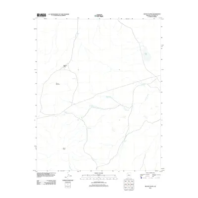
2011 Map of Mount Floyd
USGS Topo · Published 2011About this map
Mount Floyd rises above this high-desert landscape in Coconino County, serving as a primary landmark in a region defined by its critical water-management infrastructure. At the time of this 2011 survey, the area was sparsely populated, centered around the Bishop Place settlement. The hydrology of the quadrangle is dominated by the ephemeral Partridge Creek and Pineveta Wash, which are supported by a network of named stock tanks and catchment systems essential for ranching and land use in this arid environment. Significant water features include Stone Lake and several uniquely named sites such as Sixshooter Tank, Smith Tanks, and Buster Brown Tank. Local navigation is facilitated by rural connectors like Joy Rd and Link Rd, while the terrain is punctuated by prominent landforms such as Round Mountain. This map documents a modern snapshot of the livestock-supporting infrastructure in a quiet corner of Northern Arizona.
Find a feature on this map
17 named features on this map. Tap any name to fly to it.
Don’t see what you’re looking for? This feature index may not catch every label — zoom into the map to look around manually.
Map Details
Editions of this 2011 Mount Floyd Map
This is the sole edition of this map. No revisions or reprints were ever made.
Other maps of this area

1886 · Chino
USGS Topo · 1:250,000

1891 · Chino
USGS Topo · 1:250,000

1948 · Williams
USGS Topo · 1:250,000

1954 · Williams
USGS Topo · 1:250,000

1956 · Williams
USGS Topo · 1:250,000

1960 · Williams
USGS Topo · 1:250,000

1961 · Williams
USGS Topo · 1:250,000
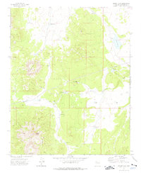
1973 · Mount Floyd
USGS Topo · 1:24,000
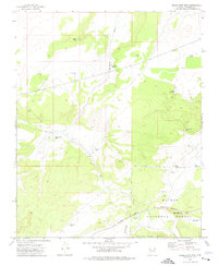
1973 · Eagle Nest Mtn
USGS Topo · 1:24,000
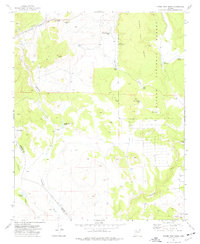
1973 · Horse Trap Mesa
USGS Topo · 1:24,000