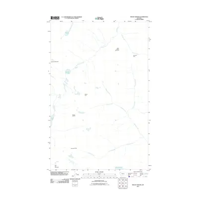
2011 Map of Mount Geduhn
USGS Topo · Published 2011About this map
Mount Geduhn stands as the central landmark in this high-elevation wilderness where the headwaters of several major drainages diverge. The drainage patterns on this sheet are particularly intricate, with the Waterton River flowing north while McDonald Creek and its tributaries, such as Trapper Creek, carry water toward the southwest. This landscape is defined by its massive vertical relief, stretching from Wolf Gun Mountain in the south to West Flattop Mountain in the north.
Find a feature on this map
20 named features on this map. Tap any name to fly to it.
Don’t see what you’re looking for? This feature index may not catch every label — zoom into the map to look around manually.
Map Details
Editions of this 2011 Mount Geduhn Map
This is the sole edition of this map. No revisions or reprints were ever made.
Other maps of this area

1904 · Chief Mountain
USGS Topo · 1:125,000

1906 · Kintla Lakes
USGS Topo · 1:125,000

1938 · Chief Mountain
USGS Topo · 1:125,000

1938 · Kintla Lakes
USGS Topo · 1:125,000

1957 · Kalispell
USGS Topo · 1:250,000

1960 · Kalispell
USGS Topo · 1:250,000

1960 · Cut Bank
USGS Topo · 1:250,000

1961 · Kalispell
USGS Topo · 1:250,000

1963 · Cut Bank
USGS Topo · 1:250,000

1964 · Cut Bank
USGS Topo · 1:250,000