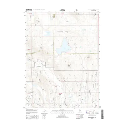
2015 Map of Mount Harkness
USGS Topo · Published 2015About this map
Juniper Lake lies at the center of this high-elevation volcanic landscape, straddling the northern boundary of Lassen National Forest and the southern reaches of Lassen Volcanic National Park. The terrain is defined by prominent peaks and craters, from the notable summit of Mount Harkness to Crater Butte and the distinct Red Cinder Cone in the northeast. This 2015 record captures the complex convergence of three counties—Shasta, Lassen, and Plumas—amidst a network of glacial lakes including Crystal Lake, Hidden Lake, and Island Lake.
Find a feature on this map
56 named features on this map. Tap any name to fly to it.
Don’t see what you’re looking for? This feature index may not catch every label — zoom into the map to look around manually.
Map Details
Editions of this 2015 Mount Harkness Map
This is the sole edition of this map. No revisions or reprints were ever made.
Other maps of this area

1886 · Lassen Peak
USGS Topo · 1:250,000

1892 · Lassen Peak
USGS Topo · 1:250,000

1894 · Lassen Peak
USGS Topo · 1:250,000

1939 · Halls Flat
USGS Topo · 1:125,000

1955 · Westwood
USGS Topo · 1:250,000

1956 · Mt. Harkness
USGS Topo · 1:62,500

1956 · Chester
USGS Topo · 1:62,500

1956 · Harvey Mtn
USGS Topo · 1:62,500

1957 · Prospect Peak
USGS Topo · 1:62,500

1958 · Westwood
USGS Topo · 1:250,000