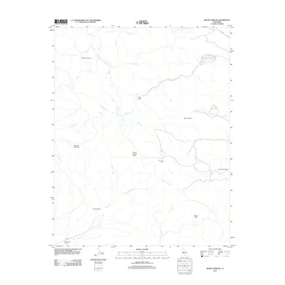
2012 Map of Mount Harlan
USGS Topo · Published 2012About this map
Mount Harlan and Bluerock Mountain anchor this high-relief landscape in Monterey County, where a network of seasonal creeks and deep canyons define the terrain. The presence of Thompson Cabin and the Quail Creek Airport provide evidence of rural habitation and light infrastructure amid the ridges. Water sources like Horseshoe Spring and drainages including Pescadero Creek and Jamieson Creek indicate the primary watershed patterns of the area. This 2012 survey illustrates the relationship between the elevated peaks and the sheltered lowlands of Round Spring Valley and Thompson Valley, accessed by remote routes such as Cienega Rd and Encinal Rd.
Find a feature on this map
25 named features on this map. Tap any name to fly to it.
Don’t see what you’re looking for? This feature index may not catch every label — zoom into the map to look around manually.
Map Details
Editions of this 2012 Mount Harlan Map
This is the sole edition of this map. No revisions or reprints were ever made.
Other maps of this area

1910 · Gonzales
USGS Topo · 1:31,680

1910 · Salinas
USGS Topo · 1:31,680

1912 · Salinas
USGS Topo · 1:62,500

1915 · San Juan Bautista
USGS Topo · 1:48,000

1917 · San Juan Bautista
USGS Topo · 1:62,500

1919 · Hollister
USGS Topo · 1:48,000

1921 · Gonzales
USGS Topo · 1:62,500

1921 · Hollister
USGS Topo · 1:62,500

1923 · Hollister
USGS Topo · 1:62,500

1939 · San Juan Bautista
USGS Topo · 1:62,500