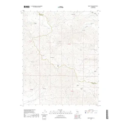
2018 Map of Mount Harlan
USGS Topo · Published 2018About this map
The Gabilan Range dominates this portion of the Central Coast, where the boundary between San Benito County and Monterey County winds through a complex system of peaks and drainages. The San Andreas Fault cuts across the northeastern corner, a geological presence that shapes the high-elevation valleys and steep gulches of the region. Significant landmarks including Mt Harlan, Bluerock Mtn, and Mt Olds provide vertical relief above tucked-away basins like Round Spring Valley and Grass Valley.
Find a feature on this map
41 named features on this map. Tap any name to fly to it.
Don’t see what you’re looking for? This feature index may not catch every label — zoom into the map to look around manually.
Map Details
Editions of this 2018 Mount Harlan Map
This is the sole edition of this map. No revisions or reprints were ever made.
Other maps of this area

1910 · Gonzales
USGS Topo · 1:31,680

1910 · Salinas
USGS Topo · 1:31,680

1912 · Salinas
USGS Topo · 1:62,500

1915 · San Juan Bautista
USGS Topo · 1:48,000

1917 · San Juan Bautista
USGS Topo · 1:62,500

1919 · Hollister
USGS Topo · 1:48,000

1921 · Gonzales
USGS Topo · 1:62,500

1921 · Hollister
USGS Topo · 1:62,500

1923 · Hollister
USGS Topo · 1:62,500

1939 · San Juan Bautista
USGS Topo · 1:62,500