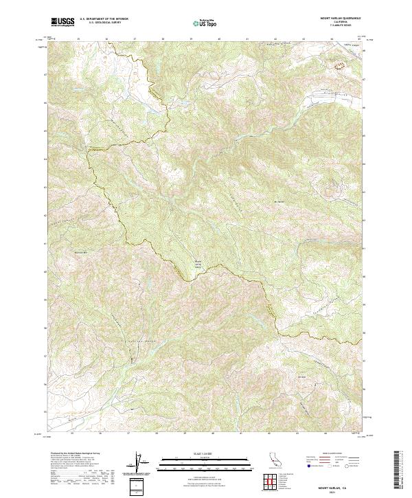
2021 Map of Mount Harlan
USGS Topo · Published 2021About this map
The Gabilan Range dominates this portion of the Central Coast, where the high-altitude divide between Monterey County and San Benito County follows a winding path through the peaks. This 2021 study shows a landscape of complex drainage systems and isolated valleys, most notably Grass Valley in the northeast and the centrally located Round Spring Valley. High points like Mt Harlan and Mt Olds provide significant landmarks for understanding the local topography.
Find a feature on this map
37 named features on this map. Tap any name to fly to it.
Don’t see what you’re looking for? This feature index may not catch every label — zoom into the map to look around manually.
Map Details
Editions of this 2021 Mount Harlan Map
This is the sole edition of this map. No revisions or reprints were ever made.
Other maps of this area

1910 · Gonzales
USGS Topo · 1:31,680

1910 · Salinas
USGS Topo · 1:31,680

1912 · Salinas
USGS Topo · 1:62,500

1915 · San Juan Bautista
USGS Topo · 1:48,000

1917 · San Juan Bautista
USGS Topo · 1:62,500

1919 · Hollister
USGS Topo · 1:48,000

1921 · Gonzales
USGS Topo · 1:62,500

1921 · Hollister
USGS Topo · 1:62,500

1923 · Hollister
USGS Topo · 1:62,500

1939 · San Juan Bautista
USGS Topo · 1:62,500