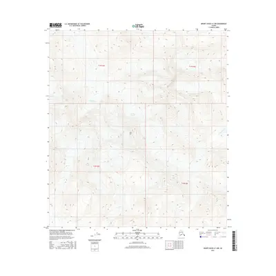
2016 Map of Mount Hayes A-1 NW
USGS Topo · Published 2016About this map
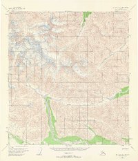
Robertson Glacier dominates the upper reaches of this interior Alaskan landscape, shaping the terrain as it has for millennia. The massive ice field feeds into several drainage systems, including the headwaters of the Slana River in the southern portion of the quadrangle. This area is defined by extreme elevation changes and ice-carved landforms, evidenced by features such as Blitz Hill and the drainage of Rumble Creek. The map provides a precise look at the glacial margins and high-altitude topography within the Unorganized Borough during the early 21st century. It serves as an essential record for those studying the shifting boundaries of Alaskan glaciers and the primitive wilderness waterways that flow from them.
Find a feature on this map
8 named features on this map. Tap any name to fly to it.
Don’t see what you’re looking for? This feature index may not catch every label — zoom into the map to look around manually.
Map Details
Editions of this 2016 Mount Hayes A-1 NW Map
This is the sole edition of this map. No revisions or reprints were ever made.
Other maps of this area

1949 · Mt. Hayes A-1
USGS Topo · 1:63,360

1950 · Mount Hayes
USGS Topo · 1:250,000

1951 · Mount Hayes
USGS Topo · 1:250,000

1954 · Mount Hayes B-1
USGS Topo · 1:63,360
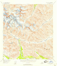
1954 · Mount Hayes A-1
USGS Topo · 1:63,360
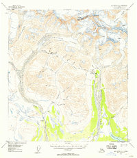
1955 · Mount Hayes A-2
USGS Topo · 1:63,360

1955 · Mount Hayes B-2
USGS Topo · 1:63,360
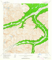
1955 · Mount Hayes B-1
USGS Topo · 1:63,360
1955 · Mt. Hayes A-1
USGS Topo · 1:63,360

1955 · Mount Hayes
USGS Topo · 1:250,000