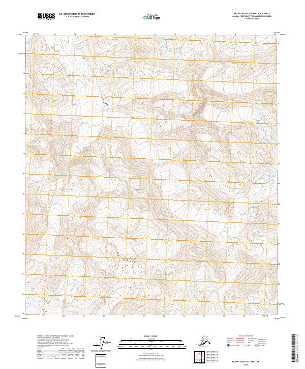
2024 Map of Mount Hayes A-1 NW
USGS Topo · Published 2024About this map
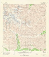
Blitz Hill rises as a prominent landmark in this Southeast Fairbanks landscape, serving as a focal point in a territory defined by high-elevation drainage patterns. This 2024 U.S. Geological Survey topographic map illustrates the winding path of the Slana River as it traverses the southwestern portion of the quadrangle, while Rumble Creek flows through the eastern terrain. The map meticulously delineates the Public Land Survey System boundaries, specifically where t17n r5e and t17n r6e meet t16n r5e and t16n r6e. The convergence of these surveyed townships and ranges highlights the structured management of this interior Alaskan wilderness, where natural features like glacial streams and isolated summits dictate the few named markers on the land.
Find a feature on this map
7 named features on this map. Tap any name to fly to it.
Don’t see what you’re looking for? This feature index may not catch every label — zoom into the map to look around manually.
Map Details
Editions of this 2024 Mount Hayes A-1 NW Map
This is the sole edition of this map. No revisions or reprints were ever made.
Other maps of this area

1949 · Mt. Hayes A-1
USGS Topo · 1:63,360

1950 · Mount Hayes
USGS Topo · 1:250,000

1951 · Mount Hayes
USGS Topo · 1:250,000

1954 · Mount Hayes B-1
USGS Topo · 1:63,360
1954 · Mount Hayes A-1
USGS Topo · 1:63,360
1955 · Mount Hayes A-2
USGS Topo · 1:63,360

1955 · Mount Hayes B-2
USGS Topo · 1:63,360
1955 · Mount Hayes B-1
USGS Topo · 1:63,360
1955 · Mt. Hayes A-1
USGS Topo · 1:63,360

1955 · Mount Hayes
USGS Topo · 1:250,000