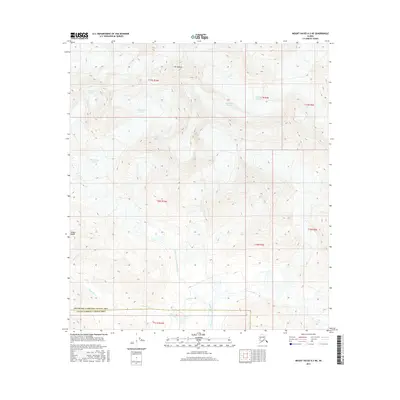
2016 Map of Mount Hayes A-2 NE
USGS Topo · Published 2016About this map
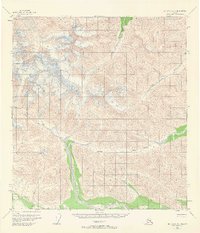
Mt Kimball stands as the high point of this glaciated terrain within the Alaska Range, where massive ice flows shape the headwaters of the Copper River drainage. The upper reaches of the Chistochina Glacier and Robertson Glacier dominate the northern half of the quadrangle, illustrating the powerful role of alpine ice in carving the landscape. Below the ice, the network of glacial runoff forms the Middle Fork Chistochina River, which is joined by numerous small tributaries including Bedrock Cr and Krachner Cr.
Find a feature on this map
20 named features on this map. Tap any name to fly to it.
Don’t see what you’re looking for? This feature index may not catch every label — zoom into the map to look around manually.
Map Details
Editions of this 2016 Mount Hayes A-2 NE Map
This is the sole edition of this map. No revisions or reprints were ever made.
Other maps of this area

1949 · Mt. Hayes A-1
USGS Topo · 1:63,360

1950 · Mount Hayes
USGS Topo · 1:250,000

1951 · Mount Hayes
USGS Topo · 1:250,000

1954 · Mount Hayes B-1
USGS Topo · 1:63,360
1954 · Mount Hayes A-1
USGS Topo · 1:63,360
1955 · Mount Hayes A-2
USGS Topo · 1:63,360

1955 · Mount Hayes B-2
USGS Topo · 1:63,360
1955 · Mount Hayes B-1
USGS Topo · 1:63,360
1955 · Mt. Hayes A-1
USGS Topo · 1:63,360

1955 · Mount Hayes
USGS Topo · 1:250,000