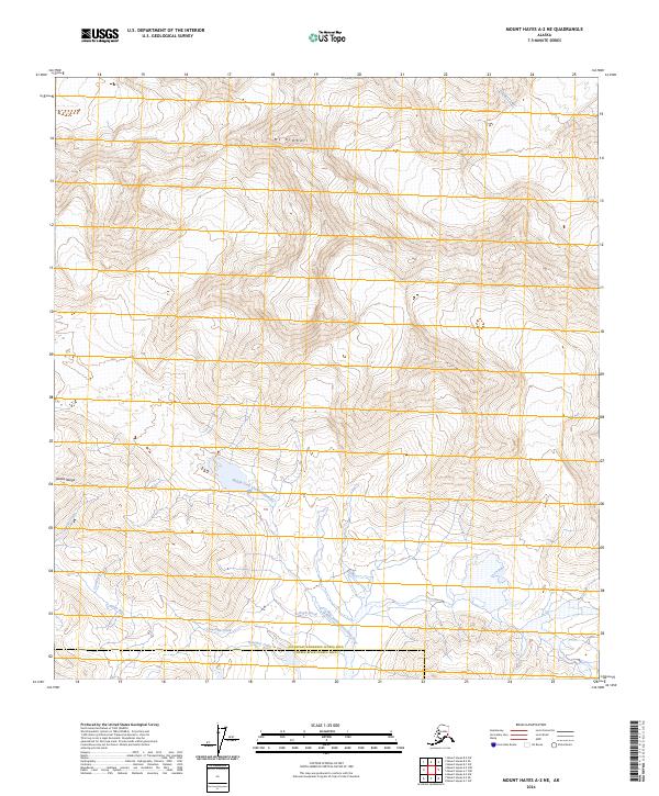
2024 Map of Mount Hayes A-2 NE
USGS Topo · Published 2024About this map
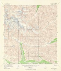
Mt Kimball dominates the northern reaches of this high-altitude landscape within the Alaska Range, where glacial runoff feeds an intricate network of waterways. The drainage pattern is defined by the Middle Fork Chistochina River, which flows through the center of the sheet, supported by numerous tributaries including Quartz Creek and Limestone Creek. To the south, Trout Lake sits near the border of the Southeast/Fairbanks Census Area and Copper River Census Area. The names of the watercourses, such as Coal Creek and Bedrock Creek, reflect the geological character of this unpopulated wilderness area. This modern survey illustrates the pristine hydrology of the region, showing how the Chisna River and Kraemer Creek navigate the complex topography at the foot of the peaks.
Find a feature on this map
18 named features on this map. Tap any name to fly to it.
Don’t see what you’re looking for? This feature index may not catch every label — zoom into the map to look around manually.
Map Details
Editions of this 2024 Mount Hayes A-2 NE Map
This is the sole edition of this map. No revisions or reprints were ever made.
Other maps of this area

1949 · Mt. Hayes A-1
USGS Topo · 1:63,360

1950 · Mount Hayes
USGS Topo · 1:250,000

1951 · Mount Hayes
USGS Topo · 1:250,000

1954 · Mount Hayes B-1
USGS Topo · 1:63,360
1954 · Mount Hayes A-1
USGS Topo · 1:63,360
1955 · Mount Hayes A-2
USGS Topo · 1:63,360

1955 · Mount Hayes B-2
USGS Topo · 1:63,360
1955 · Mount Hayes B-1
USGS Topo · 1:63,360
1955 · Mt. Hayes A-1
USGS Topo · 1:63,360

1955 · Mount Hayes
USGS Topo · 1:250,000