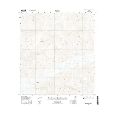
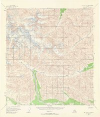
2016 Map of Mount Hayes B-1 SW
USGS Topo · Published 2016About this map
Robertson River dominates the central and southern reaches of this interior Alaskan landscape, winding through a glacial valley defined by the dramatic relief of the Eastern Alaska Range. To the southwest, the Robertson Glacier serves as the hydrological source for this network of braided channels. The 2016 survey highlights the intersection of several vast townships, including t18n r5e and t17n r6e, in a region where the natural topography remains the primary feature. The map provides a high-resolution view of the glacial terminus and the resulting river system as they appeared during early 21st-century environmental assessments.
Find a feature on this map
6 named features on this map. Tap any name to fly to it.
Don’t see what you’re looking for? This feature index may not catch every label — zoom into the map to look around manually.
Map Details
Editions of this 2016 Mount Hayes B-1 SW Map
This is the sole edition of this map. No revisions or reprints were ever made.
Other maps of this area

1949 · Mt. Hayes A-1
USGS Topo · 1:63,360

1950 · Mount Hayes
USGS Topo · 1:250,000

1951 · Mount Hayes
USGS Topo · 1:250,000

1954 · Mount Hayes B-1
USGS Topo · 1:63,360
1954 · Mount Hayes A-1
USGS Topo · 1:63,360
1955 · Mount Hayes A-2
USGS Topo · 1:63,360

1955 · Mount Hayes B-2
USGS Topo · 1:63,360
1955 · Mount Hayes B-1
USGS Topo · 1:63,360
1955 · Mt. Hayes A-1
USGS Topo · 1:63,360

1955 · Mount Hayes
USGS Topo · 1:250,000