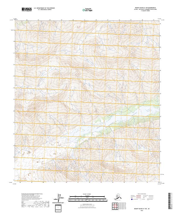
2024 Map of Mount Hayes B-1 SW
USGS Topo · Published 2024About this map
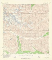
Robertson River dominates the lowlands of this Southeast Fairbanks area map, weaving through a landscape defined by significant elevation changes. This particular quadrangle is segmented by several township and range boundaries, including t18n r5e, t18n r6e, t17n r5e, and t17n r6e. The terrain is characterized by steep, repetitive contour lines indicating a high-alpine or mountainous environment where the river corridor provides the primary break in the vertical relief. Data from the National Hydrography Dataset and National Elevation Dataset illustrate a region where natural water flow and topography are the primary features, largely devoid of modern road networks or named settlements.
Find a feature on this map
5 named features on this map. Tap any name to fly to it.
Don’t see what you’re looking for? This feature index may not catch every label — zoom into the map to look around manually.
Map Details
Editions of this 2024 Mount Hayes B-1 SW Map
This is the sole edition of this map. No revisions or reprints were ever made.
Other maps of this area

1949 · Mt. Hayes A-1
USGS Topo · 1:63,360

1950 · Mount Hayes
USGS Topo · 1:250,000

1951 · Mount Hayes
USGS Topo · 1:250,000

1954 · Mount Hayes B-1
USGS Topo · 1:63,360
1954 · Mount Hayes A-1
USGS Topo · 1:63,360
1955 · Mount Hayes A-2
USGS Topo · 1:63,360

1955 · Mount Hayes B-2
USGS Topo · 1:63,360
1955 · Mount Hayes B-1
USGS Topo · 1:63,360
1955 · Mt. Hayes A-1
USGS Topo · 1:63,360

1955 · Mount Hayes
USGS Topo · 1:250,000