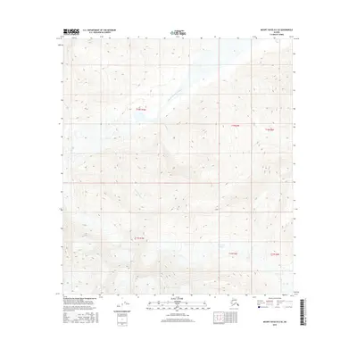
2016 Map of Mount Hayes B-2 SE
USGS Topo · Published 2016About this map
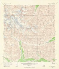
Robertson Glacier dominates the southeastern corner of this Alaskan terrain, its icy expanse marking the headwaters of a complex drainage system. The cold waters of the glacier feed into the West Fork Robertson River, which winds northeast through the high-elevation landscape. This 2016 survey illustrates the raw alpine environment where steep slopes and sharp ridges are punctuated by seasonal watercourses like Rock-Candy Cr and Snowslide Cr. The interplay between the massive glacial ice and the narrow creek beds reveals a landscape defined by seasonal melt and high-altitude geomorphology, far removed from any permanent settlements or roads. The map provides a precise record of the glacial boundary and the surrounding drainage patterns within the Unorganized Borough, showing how these waterways carve through the mountainous interior.
Find a feature on this map
11 named features on this map. Tap any name to fly to it.
Don’t see what you’re looking for? This feature index may not catch every label — zoom into the map to look around manually.
Map Details
Editions of this 2016 Mount Hayes B-2 SE Map
This is the sole edition of this map. No revisions or reprints were ever made.
Other maps of this area

1949 · Mt. Hayes A-1
USGS Topo · 1:63,360

1950 · Mount Hayes
USGS Topo · 1:250,000

1951 · Mount Hayes
USGS Topo · 1:250,000

1954 · Mount Hayes B-1
USGS Topo · 1:63,360
1954 · Mount Hayes A-1
USGS Topo · 1:63,360
1955 · Mount Hayes A-2
USGS Topo · 1:63,360

1955 · Mount Hayes B-2
USGS Topo · 1:63,360
1955 · Mount Hayes B-1
USGS Topo · 1:63,360
1955 · Mt. Hayes A-1
USGS Topo · 1:63,360

1955 · Mount Hayes
USGS Topo · 1:250,000