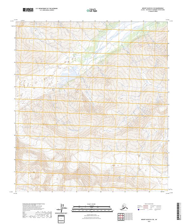
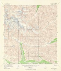
2024 Map of Mount Hayes B-2 SE
USGS Topo · Published 2024About this map
West Fork Robertson River anchors the northeastern corner of this remote Alaskan terrain, where glacial drainage systems carve through the high elevations of the Mount Hayes region. The landscape is defined by its significant relief and the natural drainage patterns of smaller tributaries like Snowslide Creek and Rock Candy Creek. This area remains largely dominated by its natural topography, with surveying and land management evidenced by the various township and range designations, including t18s r16e, t18n r4e, and t17n r5e. The map serves as a record of these hydrological features in their contemporary state, illustrating the steep gradients and mountain runoff characteristic of the Southeast Fairbanks area.
Find a feature on this map
9 named features on this map. Tap any name to fly to it.
Don’t see what you’re looking for? This feature index may not catch every label — zoom into the map to look around manually.
Map Details
Editions of this 2024 Mount Hayes B-2 SE Map
This is the sole edition of this map. No revisions or reprints were ever made.
Other maps of this area

1949 · Mt. Hayes A-1
USGS Topo · 1:63,360

1950 · Mount Hayes
USGS Topo · 1:250,000

1951 · Mount Hayes
USGS Topo · 1:250,000

1954 · Mount Hayes B-1
USGS Topo · 1:63,360
1954 · Mount Hayes A-1
USGS Topo · 1:63,360
1955 · Mount Hayes A-2
USGS Topo · 1:63,360

1955 · Mount Hayes B-2
USGS Topo · 1:63,360
1955 · Mount Hayes B-1
USGS Topo · 1:63,360
1955 · Mt. Hayes A-1
USGS Topo · 1:63,360

1955 · Mount Hayes
USGS Topo · 1:250,000