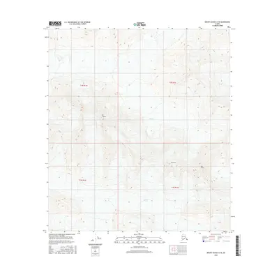
2016 Map of Mount Hayes B-3 SE
USGS Topo · Published 2016About this map
Mt Gakona dominates this high-elevation landscape in the Alaska Interior, serving as a prominent landmark within the Unorganized Borough. This 2016 survey illustrates a landscape defined by significant glacial activity and massive topographical shifts. To the north, the massive Johnson Glacier flows through deep valleys, while the southern portion of the sheet is shaped by the Gakona Glacier. Between these moving ice sheets, several distinct peaks emerge, including the notably named Thorkona and The Thorn. The map provides a precise account of the high-altitude terrain near the intersection of several townships, including t18s r13e, providing essential data for understanding the current state of these alpine environments and their drainage patterns.
Find a feature on this map
9 named features on this map. Tap any name to fly to it.
Don’t see what you’re looking for? This feature index may not catch every label — zoom into the map to look around manually.
Map Details
Editions of this 2016 Mount Hayes B-3 SE Map
This is the sole edition of this map. No revisions or reprints were ever made.
Other maps of this area

1950 · Mount Hayes
USGS Topo · 1:250,000

1950 · Mount Hayes A-3
USGS Topo · 1:63,360

1951 · Mount Hayes
USGS Topo · 1:250,000

1952 · Mount Hayes A-3
USGS Topo · 1:63,360
1954 · Mount Hayes A-3
USGS Topo · 1:63,360
1955 · Mount Hayes A-2
USGS Topo · 1:63,360

1955 · Mount Hayes B-3
USGS Topo · 1:63,360

1955 · Mount Hayes B-2
USGS Topo · 1:63,360

1955 · Mount Hayes
USGS Topo · 1:250,000
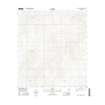
2016 · Mount Hayes B-3 NE
USGS Topo · 1:25,000