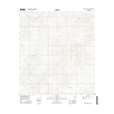
2016 Map of Mount Hayes B-3 NE
USGS Topo · Published 2016About this map
Spur Glacier and Johnson Glacier dominate this remote glacial landscape within the Alaska Range. This 2016 survey by the U.S. Geological Survey provides a precise topographic look at the high-elevation terrain of the Unorganized Borough. The map is defined by extreme relief and the movement of ice, with the glaciers carving through the mountains across several townships including t17s r13e and t18s r14e. While devoid of human settlements or roads, the intricate contouring captures the complex physical geography of the interior at the start of the twenty-first century.
Find a feature on this map
10 named features on this map. Tap any name to fly to it.
Don’t see what you’re looking for? This feature index may not catch every label — zoom into the map to look around manually.
Map Details
Editions of this 2016 Mount Hayes B-3 NE Map
This is the sole edition of this map. No revisions or reprints were ever made.
Other maps of this area

1950 · Mount Hayes
USGS Topo · 1:250,000

1951 · Mount Hayes
USGS Topo · 1:250,000

1954 · Mount Hayes C-3
USGS Topo · 1:63,360

1955 · Mount Hayes B-3
USGS Topo · 1:63,360

1955 · Mount Hayes C-2
USGS Topo · 1:63,360

1955 · Mount Hayes B-2
USGS Topo · 1:63,360

1955 · Mount Hayes C-3
USGS Topo · 1:63,360

1955 · Mount Hayes
USGS Topo · 1:250,000
2016 · Mount Hayes B-2 NW
USGS Topo · 1:25,000
2016 · Mount Hayes B-2 SW
USGS Topo · 1:25,000