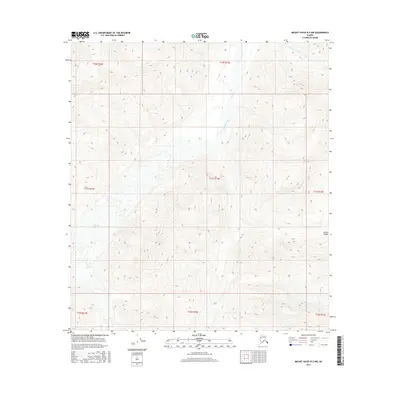
2016 Map of Mount Hayes B-2 NW
USGS Topo · Published 2016About this map
The Alaska Range dominates this landscape, where high-altitude ice and glacial melt dictate the local geography. The Johnson Glacier sits in the western portion of the quadrangle, serving as a primary source for the complex drainage patterns that feed into the broader valley system. Flowing through the center of the sheet, the Johnson River creates a wide, braided path across the terrain, a characteristic marker of the region's dynamic hydraulic environment. In the northern reaches, Elting Creek cuts through the high-elevation contours before descending toward the river valley. The map documents a wilderness shaped by active geological forces, with no human settlements or established infrastructure noted, leaving the focus entirely on the physical relationship between the mountain peaks and the moving ice and water of the interior.
Find a feature on this map
12 named features on this map. Tap any name to fly to it.
Don’t see what you’re looking for? This feature index may not catch every label — zoom into the map to look around manually.
Map Details
Editions of this 2016 Mount Hayes B-2 NW Map
This is the sole edition of this map. No revisions or reprints were ever made.
Other maps of this area

1950 · Mount Hayes
USGS Topo · 1:250,000

1951 · Mount Hayes
USGS Topo · 1:250,000

1954 · Mount Hayes C-3
USGS Topo · 1:63,360

1955 · Mount Hayes B-3
USGS Topo · 1:63,360

1955 · Mount Hayes C-2
USGS Topo · 1:63,360

1955 · Mount Hayes B-2
USGS Topo · 1:63,360

1955 · Mount Hayes C-3
USGS Topo · 1:63,360

1955 · Mount Hayes
USGS Topo · 1:250,000
2016 · Mount Hayes B-3 NE
USGS Topo · 1:25,000
2016 · Mount Hayes B-2 SE
USGS Topo · 1:25,000