
1955 Map of Mount Hayes C-3
USGS Topo · Published 1965About this map
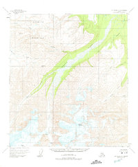
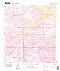
Gerstle Glacier dominates the southern reaches of this high-latitude terrain, its ice fields marked by shifting crevasses that feed a network of glacial meltwater streams. The Gerstle River carves a broad valley through the center of the sheet, joined by high-elevation tributaries such as July Creek and Sheep Creek. This mid-century survey captures an unpopulated wilderness defined by severe topography and the movement of water and ice, with St Anthony Pass serving as a notable corridor through the high peaks. The drainage patterns revealed here, including the Little Gerstle River and Pegmatite Creek, illustrate the complex hydrology of the Alaska Range before modern infrastructure reached this remote interior. The absence of roads or permanent settlements emphasizes the character of the land as it remained in the mid-1950s, a landscape shaped entirely by geological forces.
Find a feature on this map
12 named features on this map. Tap any name to fly to it.
Don’t see what you’re looking for? This feature index may not catch every label — zoom into the map to look around manually.
Map Details
Editions of this 1955 Mount Hayes C-3 Map
3 editions found
Other maps of this area

1950 · Mount Hayes
USGS Topo · 1:250,000

1950 · Mount Hayes D-4
USGS Topo · 1:63,360

1950 · Mount Hayes C-4
USGS Topo · 1:63,360

1951 · Mount Hayes
USGS Topo · 1:250,000

1952 · Mount Hayes D-4
USGS Topo · 1:63,360

1952 · Mount Hayes C-4
USGS Topo · 1:63,360

1952 · Mount Hayes B-4
USGS Topo · 1:63,360

1954 · Mount Hayes C-3
USGS Topo · 1:63,360

1954 · Mount Hayes D-2
USGS Topo · 1:63,360

1954 · Mount Hayes D-3
USGS Topo · 1:63,360