
1950 Map of Mount Hayes C-4
USGS Topo · Published 1962About this map
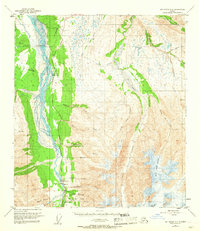
Fort Greeley and the Black Rapids Training Site anchor this interior Alaska landscape, reflecting the military's strategic footprint during the mid-century. The braided channels of the Delta River dominate the western edge, framed by the essential Richardson Highway which serves as the primary artery for northern travel. Small pockets of human activity appear as outliers in the wilderness, such as the Donnelly settlement, a Diner, and the Black Rapids Club near the Landing Strip.
Find a feature on this map
33 named features on this map. Tap any name to fly to it.
Don’t see what you’re looking for? This feature index may not catch every label — zoom into the map to look around manually.
Map Details
Editions of this 1950 Mount Hayes C-4 Map
4 editions found
Other maps of this area

1950 · Mount Hayes
USGS Topo · 1:250,000

1950 · Mount Hayes D-4
USGS Topo · 1:63,360

1950 · Mount Hayes D-5
USGS Topo · 1:63,360

1951 · Mount Hayes
USGS Topo · 1:250,000

1951 · Mount Hayes C-5
USGS Topo · 1:63,360

1951 · Mt. Hayes B-5
USGS Topo · 1:63,360

1952 · Mount Hayes D-5
USGS Topo · 1:63,360

1952 · Mount Hayes D-4
USGS Topo · 1:63,360

1952 · Mount Hayes C-4
USGS Topo · 1:63,360

1952 · Mount Hayes B-4
USGS Topo · 1:63,360