
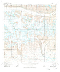
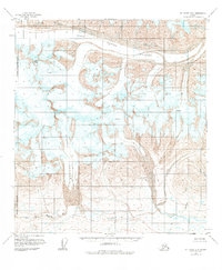
1951 Map of Mt. Hayes B-5
USGS Topo · Published 1961About this map
The massive Black Rapids Glacier dominates the northern reaches of this topographic study, showcasing a landscape defined by moving ice and high-altitude peaks. To the west, Meteor Peak rises above a complex network of crevasses, while the southern drainage is defined by the East Fork Maclaren River and Eureka Creek. The map records a wilderness without roads or trails, where natural features like Broxson Gulch and the West Fork Rainy Creek provide the only landmarks for navigation. This 1951 field annotation captures the raw state of the Alaska Range before modern infrastructure reached deep into these high valleys, offering a clear record of glacial margins and drainage patterns during the mid-century period.
Find a feature on this map
7 named features on this map. Tap any name to fly to it.
Don’t see what you’re looking for? This feature index may not catch every label — zoom into the map to look around manually.
Map Details
Editions of this 1951 Mt. Hayes B-5 Map
3 editions found
Other maps of this area

1949 · Mount Hayes A-4
USGS Topo · 1:63,360

1949 · Mount Hayes A-5
USGS Topo · 1:63,360

1950 · Mount Hayes
USGS Topo · 1:250,000

1950 · Mount Hayes C-4
USGS Topo · 1:63,360

1950 · Mount Hayes A-6
USGS Topo · 1:63,360

1951 · Mount Hayes
USGS Topo · 1:250,000

1951 · Mount Hayes B-6
USGS Topo · 1:63,360

1951 · Mount Hayes C-5
USGS Topo · 1:63,360

1951 · Mount Hayes C-6
USGS Topo · 1:63,360

1952 · Mount Hayes A-4
USGS Topo · 1:63,360