
1951 Map of Mount Hayes C-6
USGS Topo · Published 1962About this map
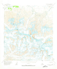
Mount Hayes anchors this high-elevation interior landscape, surrounded by an extensive network of ice and water that shaped the region during the mid-twentieth century. The vast Hayes Glacier flows through the central portion of the map, while the Susitna Glacier dominates the southern reaches, both marked by numerous Crevasses that indicate active movement and difficult passage. The presence of the Fort Greeley Mil Res in the northeast corner highlights the area's strategic importance for cold-weather military training and research during the early Cold War era. To the northwest, the headwaters of the Little Delta River cut through the terrain, fed by melting glacial runoff. This sheet serves as a primary record of the glacial extent and topographic contours of the Alaska Range before modern climatic shifts significantly altered these frozen landmarks, including Aurora Peak and Hayes Creek.
Find a feature on this map
8 named features on this map. Tap any name to fly to it.
Don’t see what you’re looking for? This feature index may not catch every label — zoom into the map to look around manually.
Map Details
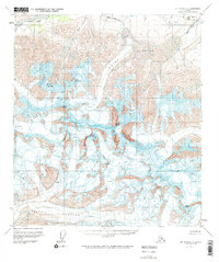
Editions of this 1951 Mount Hayes C-6 Map
3 editions found
Other maps of this area

1949 · Healy D-1
USGS Topo · 1:63,360

1950 · Mount Hayes
USGS Topo · 1:250,000

1950 · Mount Hayes D-6
USGS Topo · 1:63,360

1950 · Healy B-1
USGS Topo · 1:63,360

1950 · Mount Hayes D-5
USGS Topo · 1:63,360

1951 · Healy
USGS Topo · 1:250,000

1951 · Mount Hayes
USGS Topo · 1:250,000

1951 · Mount Hayes B-6
USGS Topo · 1:63,360

1951 · Healy C-1
USGS Topo · 1:63,360

1951 · Mount Hayes C-5
USGS Topo · 1:63,360