
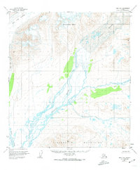
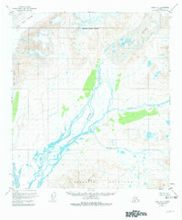
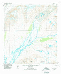
1950 Map of Healy B-1
USGS Topo · Published 1965About this map
The Susitna River braids through a glaciated wilderness at the base of the Clearwater Mountains in this mid-century survey. Captured during a period of extensive aerial photogrammetric mapping by the Geological Survey, the landscape is defined by the massive Susitna Glacier and West Fork Glacier which feed the complex drainage networks below. The map documents an area with no roads or trails, where the land lines were predetermined by the Bureau of Land Management rather than being established by physical markers. The shifting gravel bars of the East Fork and the descent of Boulder Creek illustrate the dynamic hydrology of the Alaskan interior before modern development. This sheet preserves the state of these ice-bound mountains and remote river valleys as they were annotated just after the war.
Find a feature on this map
7 named features on this map. Tap any name to fly to it.
Don’t see what you’re looking for? This feature index may not catch every label — zoom into the map to look around manually.
Map Details
Editions of this 1950 Healy B-1 Map
4 editions found
Other maps of this area

1949 · Healy B-2
USGS Topo · 1:63,360

1949 · Healy A-1
USGS Topo · 1:63,360

1950 · Mount Hayes
USGS Topo · 1:250,000

1950 · Mount Hayes A-6
USGS Topo · 1:63,360

1951 · Healy
USGS Topo · 1:250,000

1951 · Mount Hayes
USGS Topo · 1:250,000

1951 · Mount Hayes B-6
USGS Topo · 1:63,360

1951 · Healy C-1
USGS Topo · 1:63,360

1951 · Healy C-2
USGS Topo · 1:63,360

1951 · Mount Hayes C-6
USGS Topo · 1:63,360